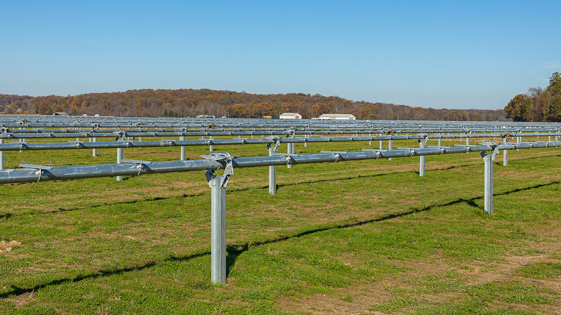
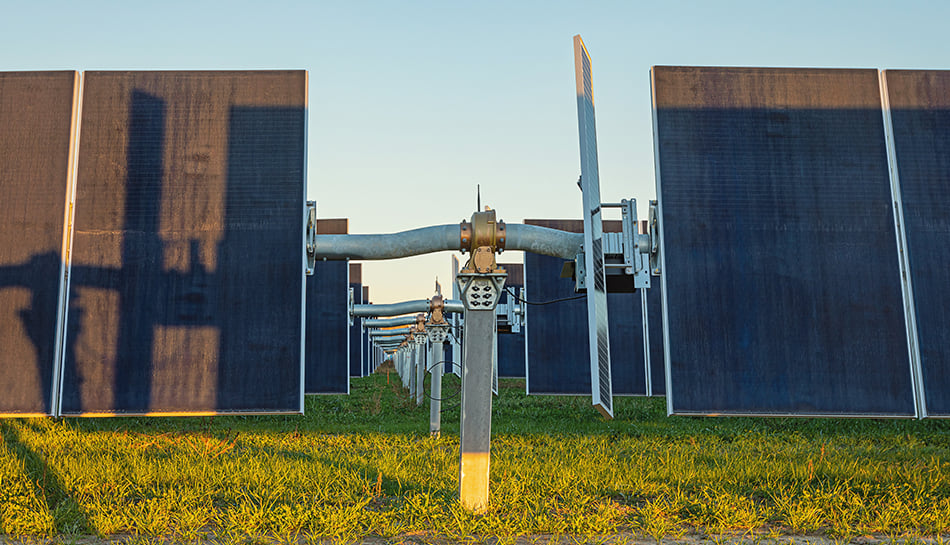
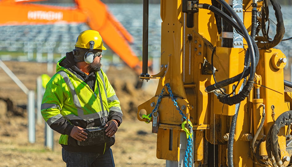
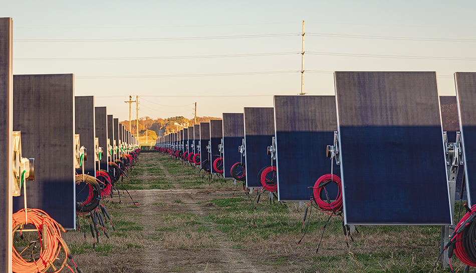
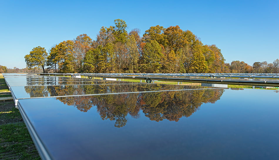
Drone imagery and mapping was used to obtain preliminary topography information, allowing the site design team to conduct the preliminary site assessment and acquire as-built data for piling data development. Pairing data developed during the structural design phase with GPS-equipped pile-driving equipment improved efficiencies significantly. Drone imagery was also used for progress documentation throughout the project. While on-site, mobile applications supported safety management, daily reporting, quality forms and more.
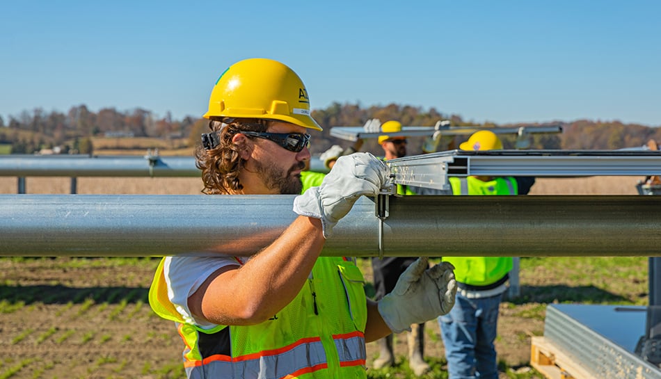
Safety, one of our core principles, was a top priority, and the project was executed with more than 164,000 safe work hours with zero days away and zero lost time incidents.